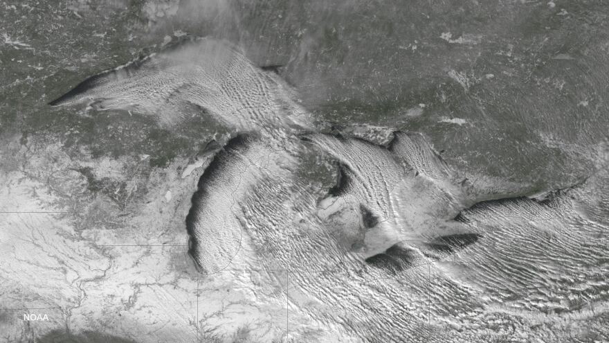
Lake effect snowstorms happen when cold air moves over warmer bodies of water.
The water evaporates from the surface of the lakes and quickly forms heavy clouds, which dump snow in bands across the landscape. This can happen in late fall, when the jet stream is undergoing major changes.
Gilbert Sebenste, the meteorology support analyst at the College of DuPage, said that the jet stream was moving very quickly and from much further north than normal.
“The jet stream actually buckled — wildly, I might add," he said, "and that storm system and that air originated all the way up near the North Pole before crashing down into the Great Lakes."
There were a few other conditions that made this storm unique. Lightning, thunder, hail and waterspouts, or tornados that form over water, all characterized this memorable, early season snowstorm.
Sebenste said the event will be remembered for years to come.
"[It] is so rare for us to see that," he said. "So, when we were looking at this three days ago, the National Weather Service forecasters and all the private forecasters were looking at each other, going, ‘Is this for real? This looks absolutely incredible.’”
Most of eastern Illinois saw at least two inches of snow, and some parts of Wisconsin and Indiana saw more than a foot. But it won’t last. Temperatures are expected to climb into the 60s this weekend.
Wild temperature swings are typically expected this time of year, but Sebenste said conditions this extreme only happen every 5 to 10 years.


